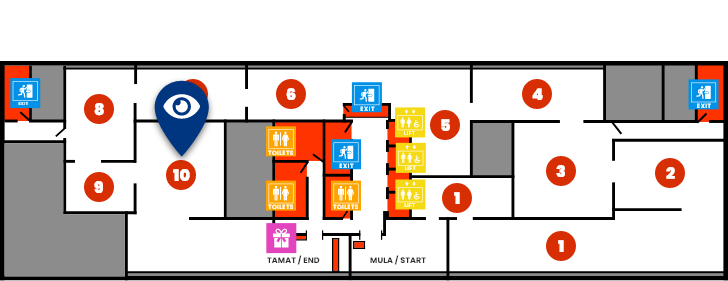
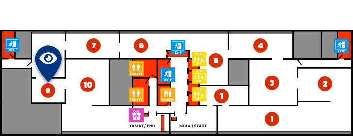
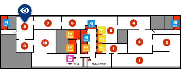
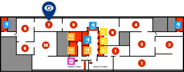
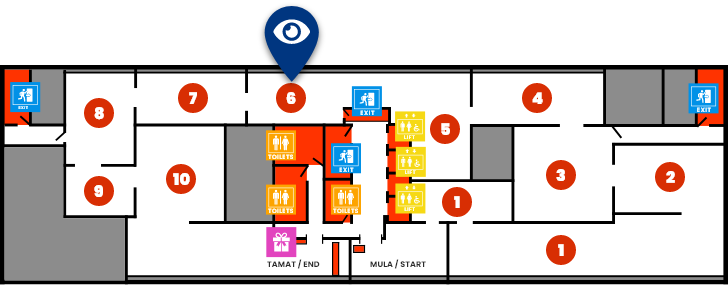
WHAT'S ON
GIS
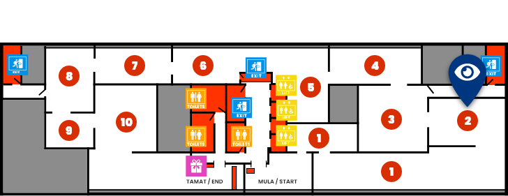
What is GIS? GIS is a Geographic information system that used widely to analyzes and displays geographically referenced information. It uses data that attached to a unique location. What is Surveyor’s role in GIS? Surveyor involved in creating, filling and maintaining a GIS, using it as a tool to manage the natural and built environment as well as the cadaster. Does GIS contribute to crowdsourcing and augmented reality? Yes, GIS does contribute to it. Come and experience for yourself the simulation of crowdsourcing here in this gallery. Section in this segment are:
- GIS History
- GIS In Action
- Analysis Video
- Concept of GIS
- Geo Location
- GIS Application
- Geographic Information Technology
- Augmented Reality (AR)
- Crowd Sourcing